
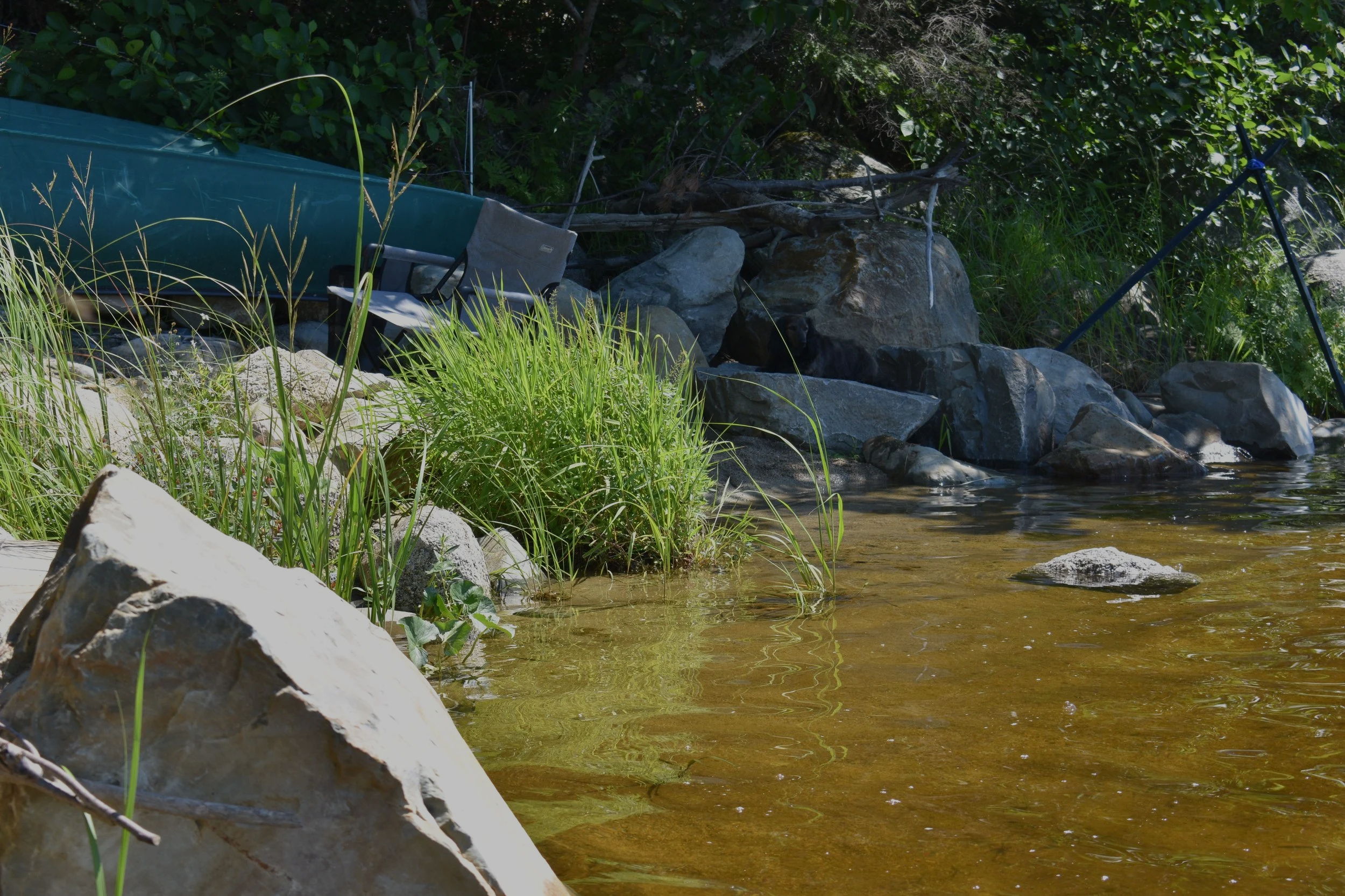
On August 6, 2026, the teams at TransCoastal Adaptations and CB Wetlands and Environmental Specialists (CBWES) went back to the Molega Lake Green Shores for Homes (GSH) site for our Year 1 monitoring visit
The Molega Lake GSH project was completed on August 7, 2025. Over 5 long days, the existing rock retaining wall was dismantled, and rocks were redistributed throughout the floodplain. Shoreline fill was removed to restore the floodplain’s natural slope. Our team planted nature-floodplain-adapted species in the new riparian zone. Conditions in the summer of 2025 were dominated by drought and heat, so extra care was taken by the homeowners to support the young plants’ establishment. Deer fencing helped minimize browsing on the already stressed plantings. (Umlah & Giacomodonato, 2026) Read more about the implementation of the project in this case study!
Funding for this project came from Environment and Climate Change Canada to restore habitat for species at risk in the Kespukwitk/Southwest Nova Priority Place. Atlantic Coastal Plain Flora (ACPF) species surveys conducted in 2014 by the Mersey Tobeatic Research Institute identified hundreds of Redroot (Lachnanthes caroliniana) along this shoreline before it was developed by the homeowners. Many species of ACPF, including Redroot, are listed species at risk, as they exist nowhere else in Canada and are facing mounting pressures, mainly from shoreline development. Nova Scotia hosts the northernmost population of Redroot in the world, with the next closest population being in Massachusetts (COSEWIC, 2009). Redroot was still present on unaltered portions of the shoreline, so by recreating the conditions for Redroot to thrive, we expect seeds or rhizomes to be carried into the floodplain and establish themselves into the restored habitat within a few years.
The first winter
In March of 2026, just over halfway through the site’s first year, the homeowners visited the site to check in on its first winter. The 2025-26 winter was characterized by above-average snowfall across the majority of Nova Scotia, and March 2026 had above average rainfall (Willick, 2026; ECCC, 2026). So, when the homeowners arrived, they found high water levels putting the restored floodplain to good use!
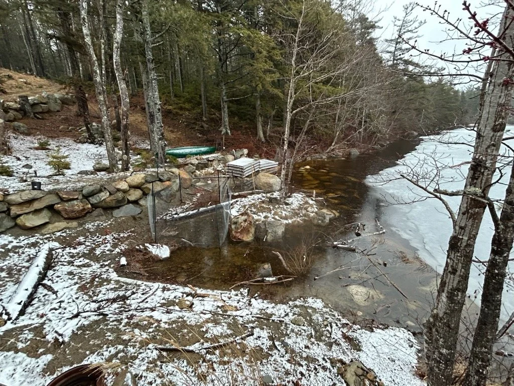
March 2026 view of the restored floodplain with high water levels reaching the back of the riparian zone
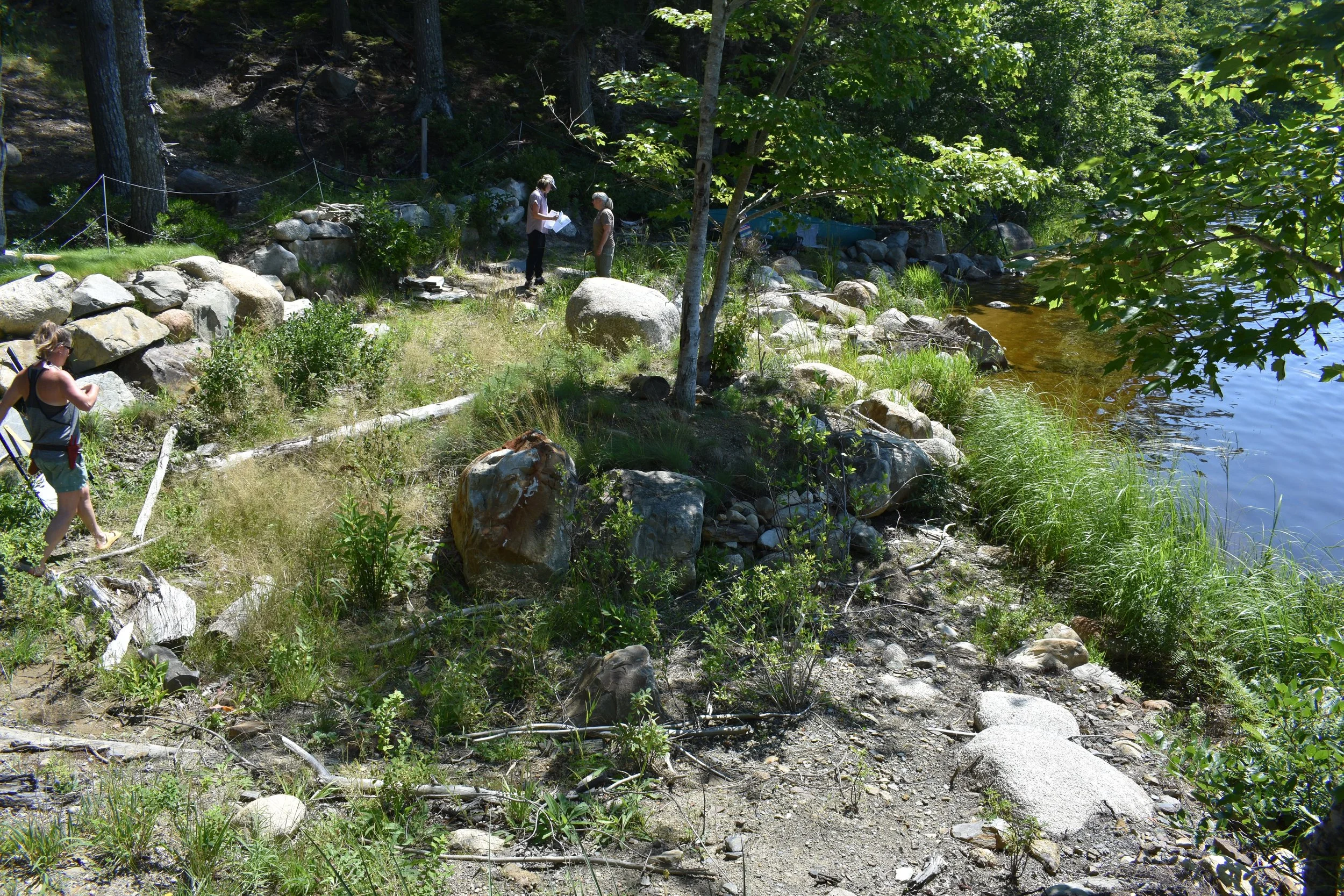
Compared to a slightly higher than average summer water level from the same vantage point (slightly more zoomed in) in August 2026
These flood waters may contain seeds and rhizomes that could facilitate the re-establishment of additional riparian vegetation, including Redroot.
year 1 visit
When we arrived on a lovely sunny day, the riparian vegetation was flourishing! The water level was much higher this year compared to during implementation in 2025.
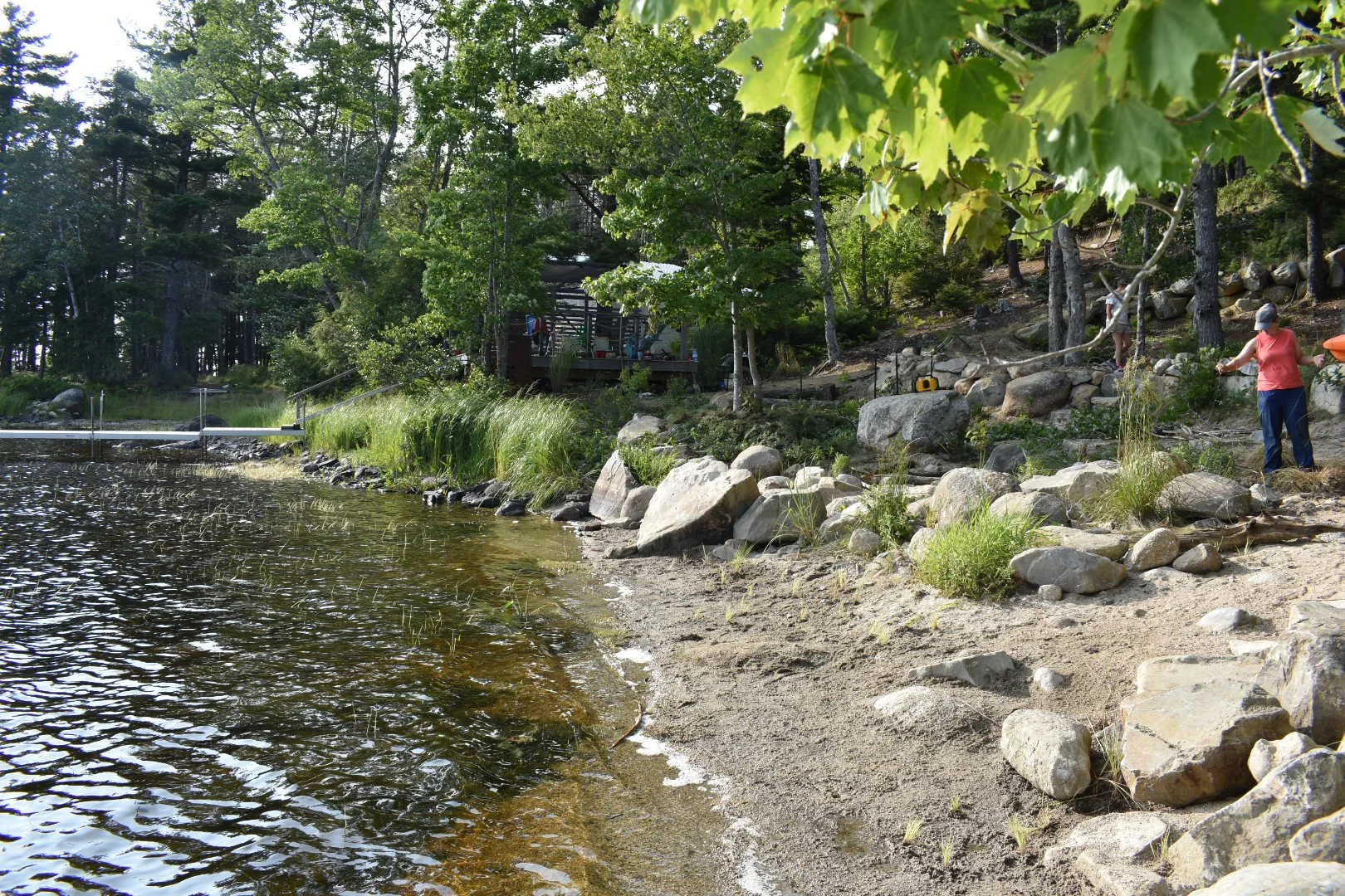
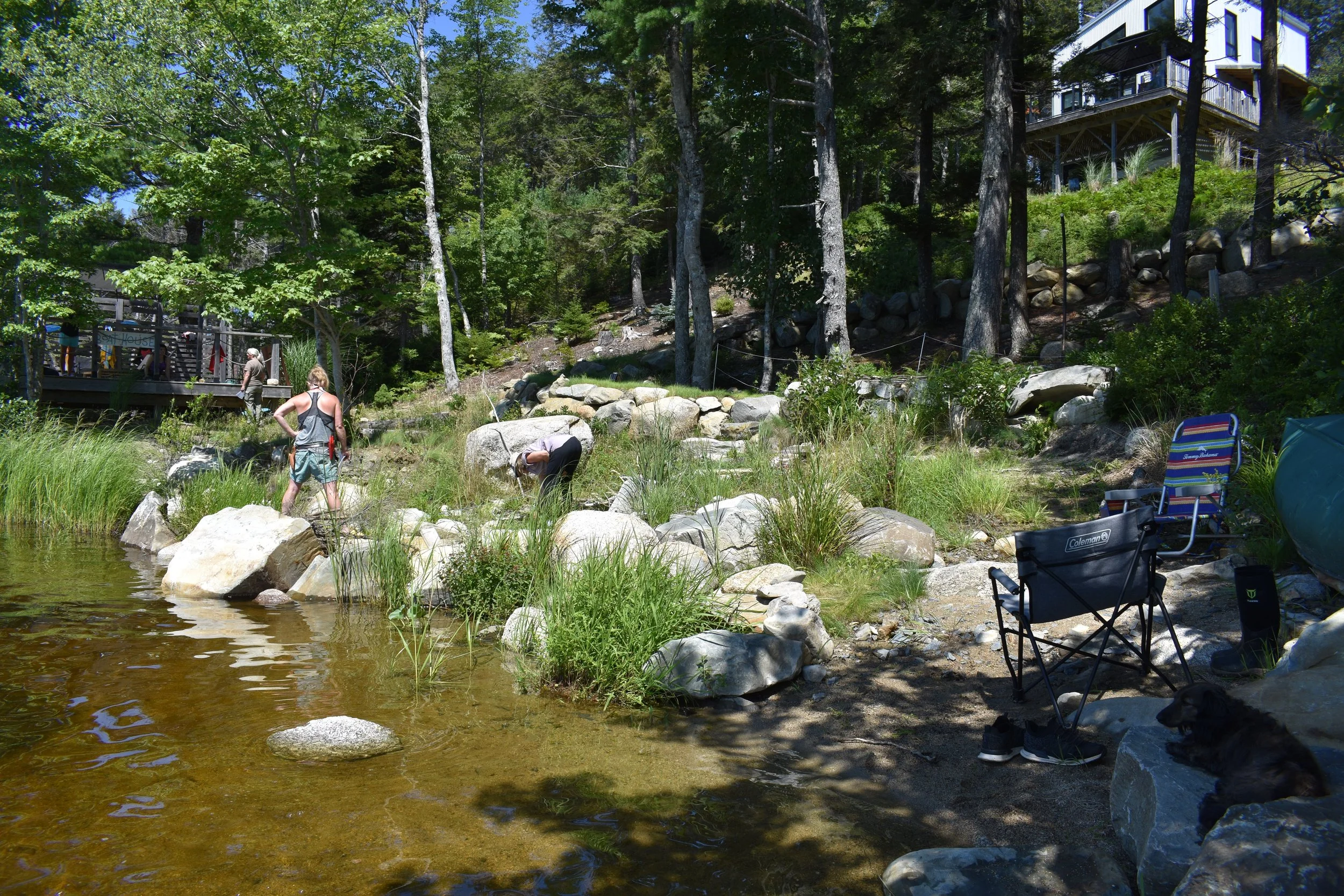
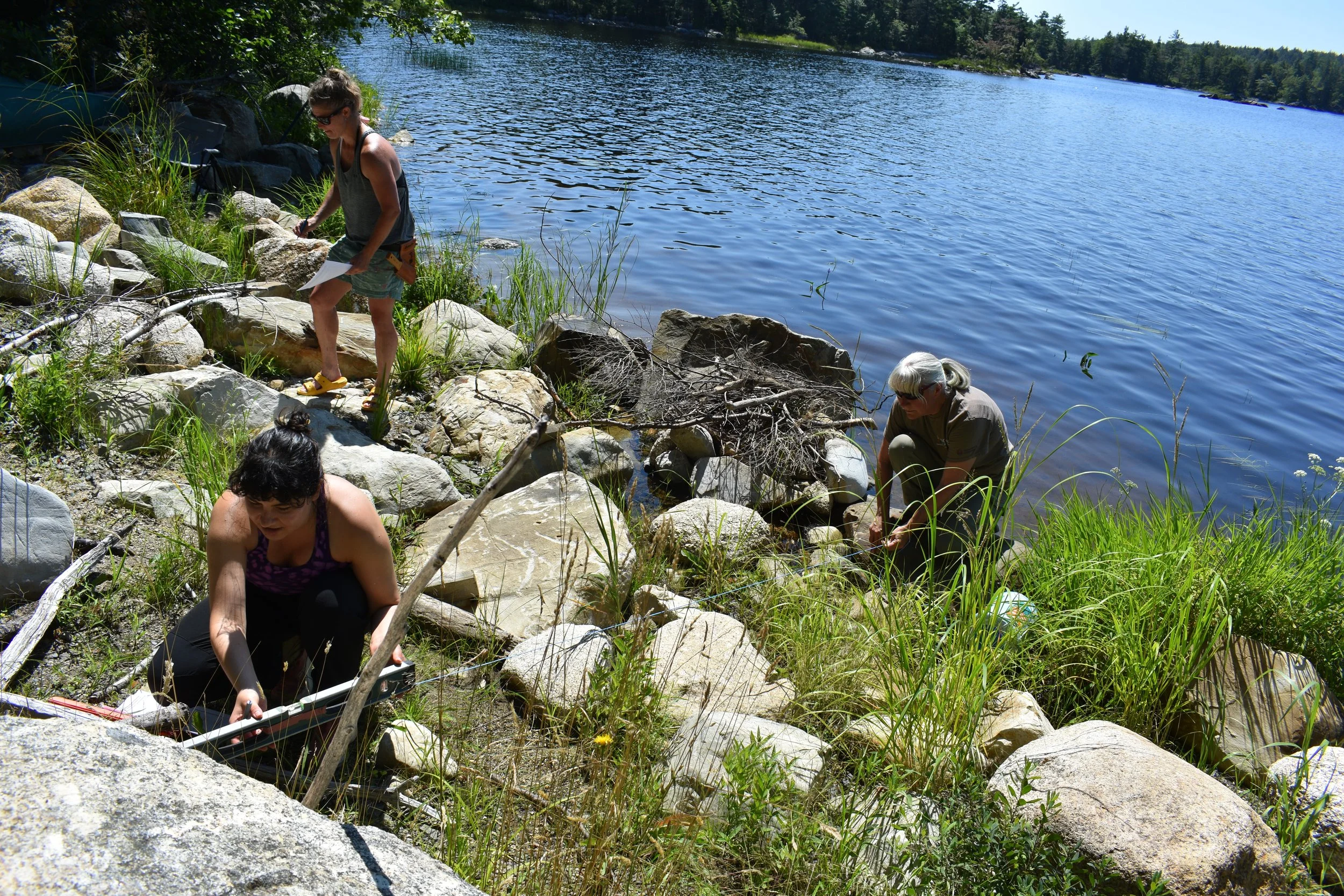
As part of the monitoring program, we set up transects along which we measured the slope and most prominent groundcover (i.e. plant species, bare ground, organic material, etc.). The team checked plant survival across the entire site and surveyed the organic material by size. These surveys can be compared over the years, which will indicate how materials are moving and shifting around onsite.
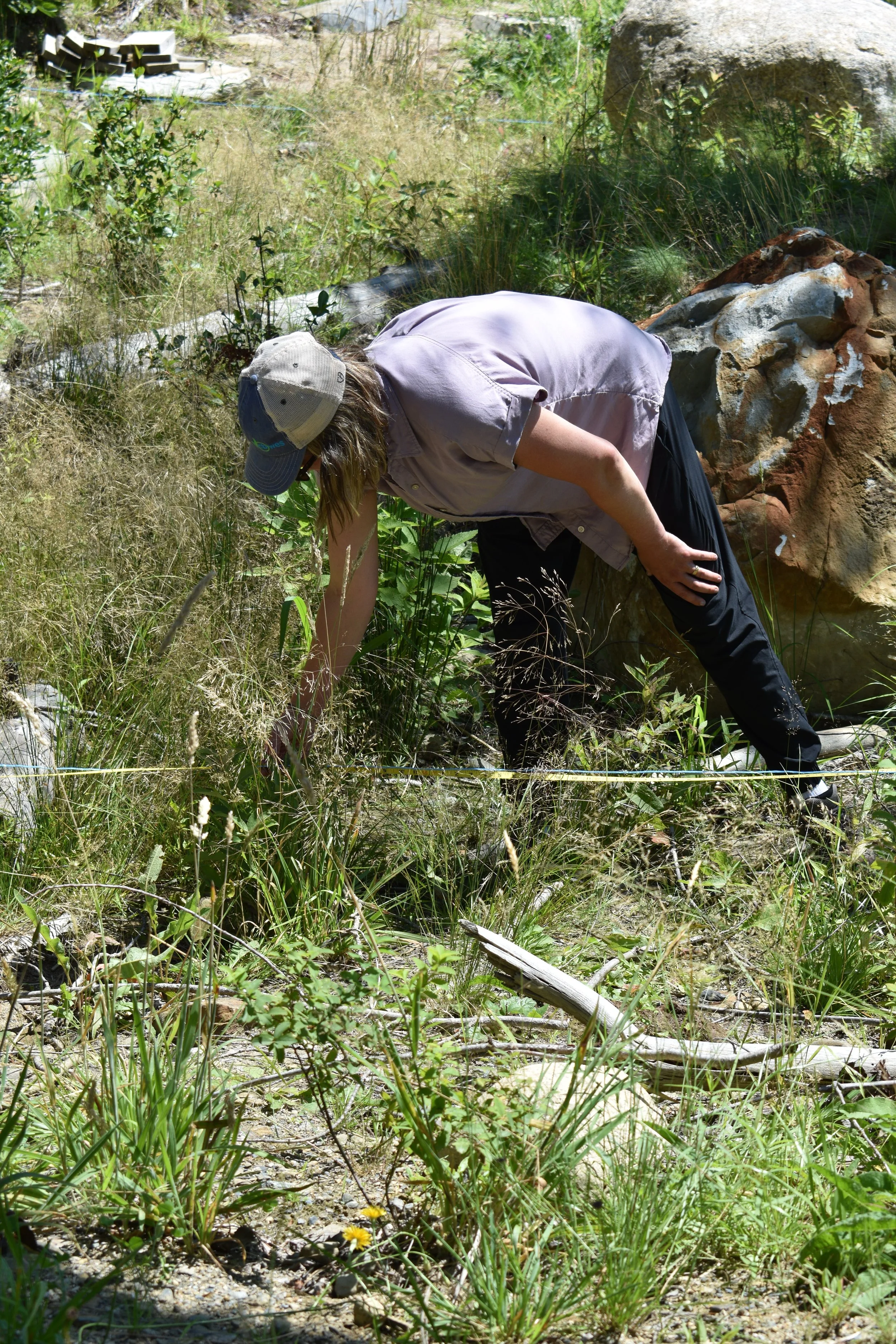
Some non-native species established throughout the first year. While not invasive, they were removed to maximize space for native species in the riparian zone.
During our August 6 site visit, most of the native flowering plants were no longer in bloom, which made plant identification slightly more difficult for the less seasoned eye. Kirsten Ellis from CBWES and Rising Tide Nursery supported the homeowners in identifying the plants even when they are not in bloom.
Some of the native species that were planted and are now thriving in the restored area include:
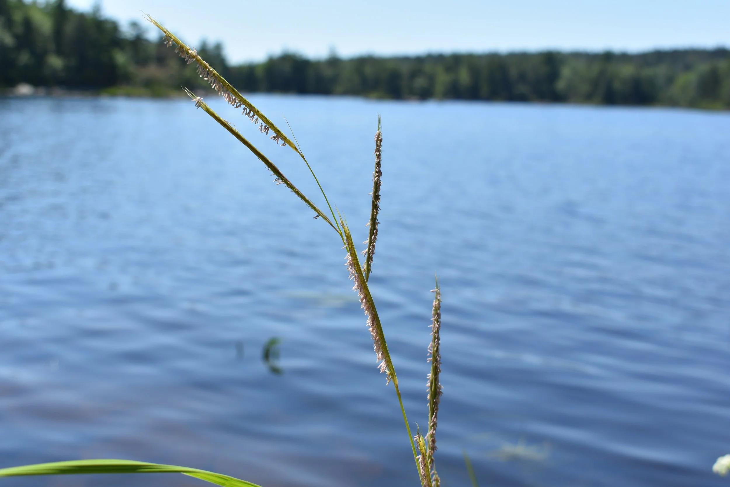
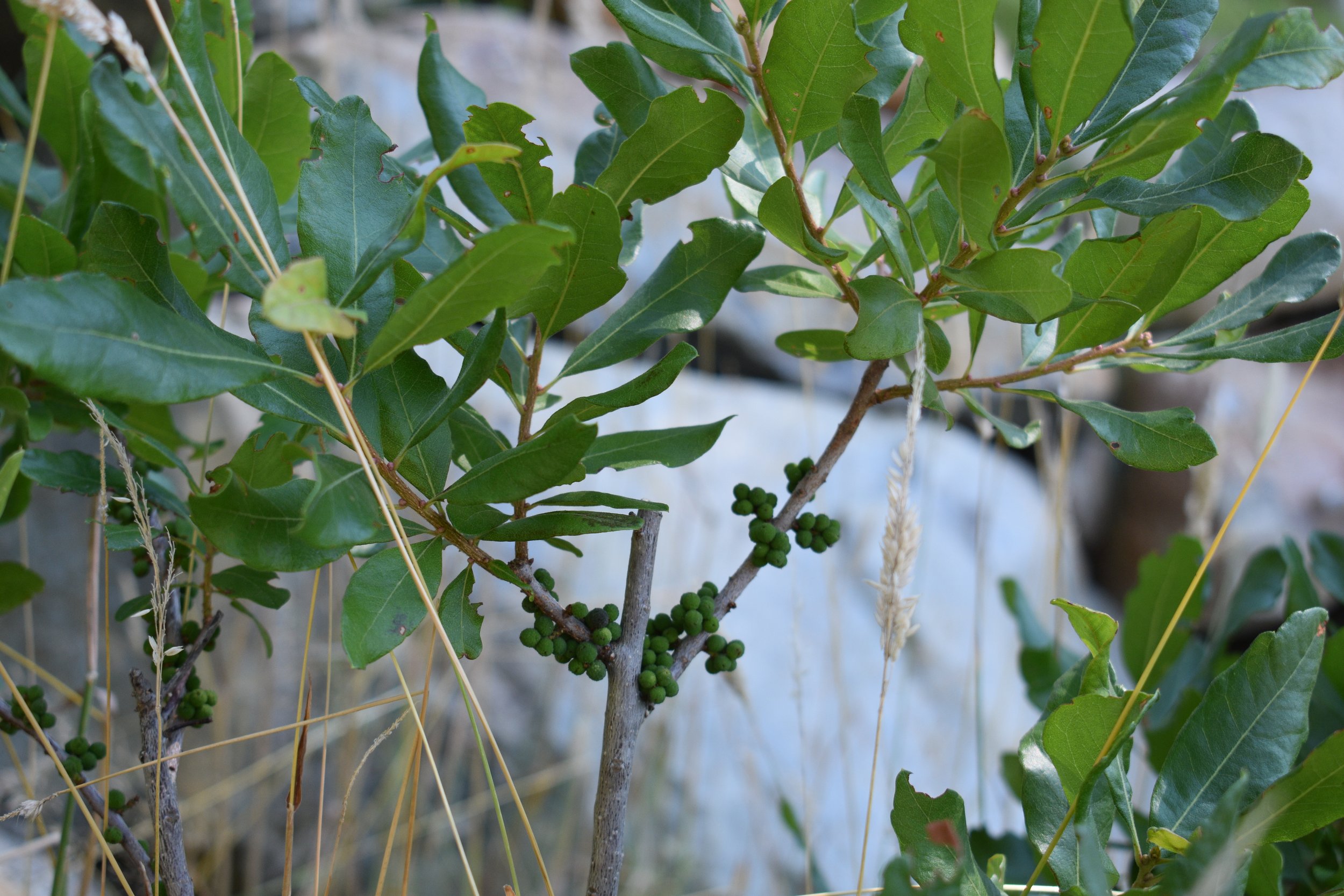
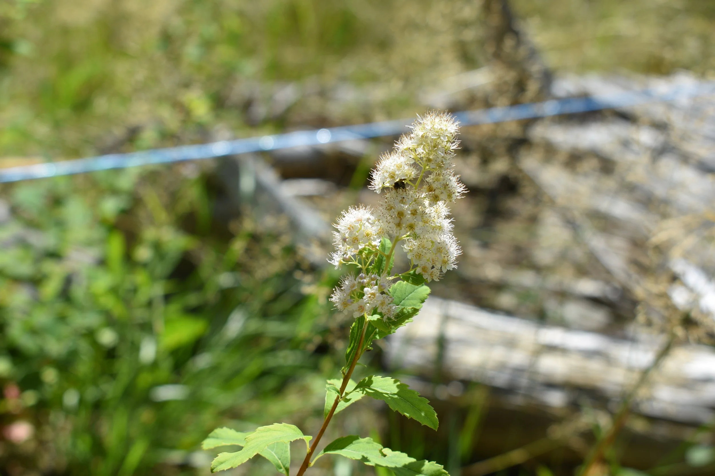
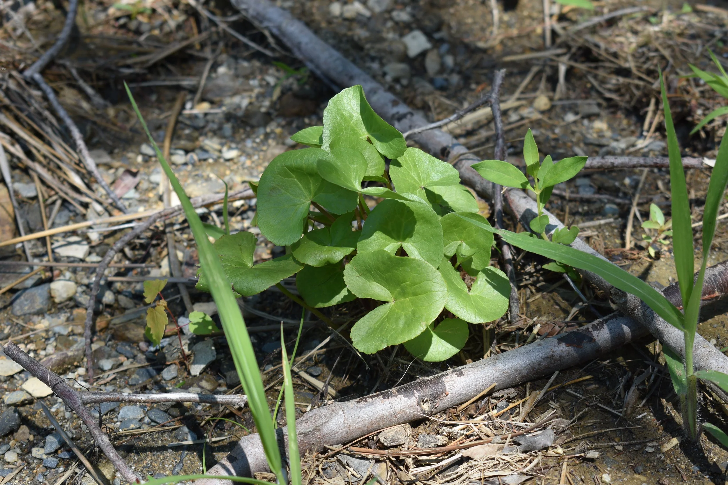
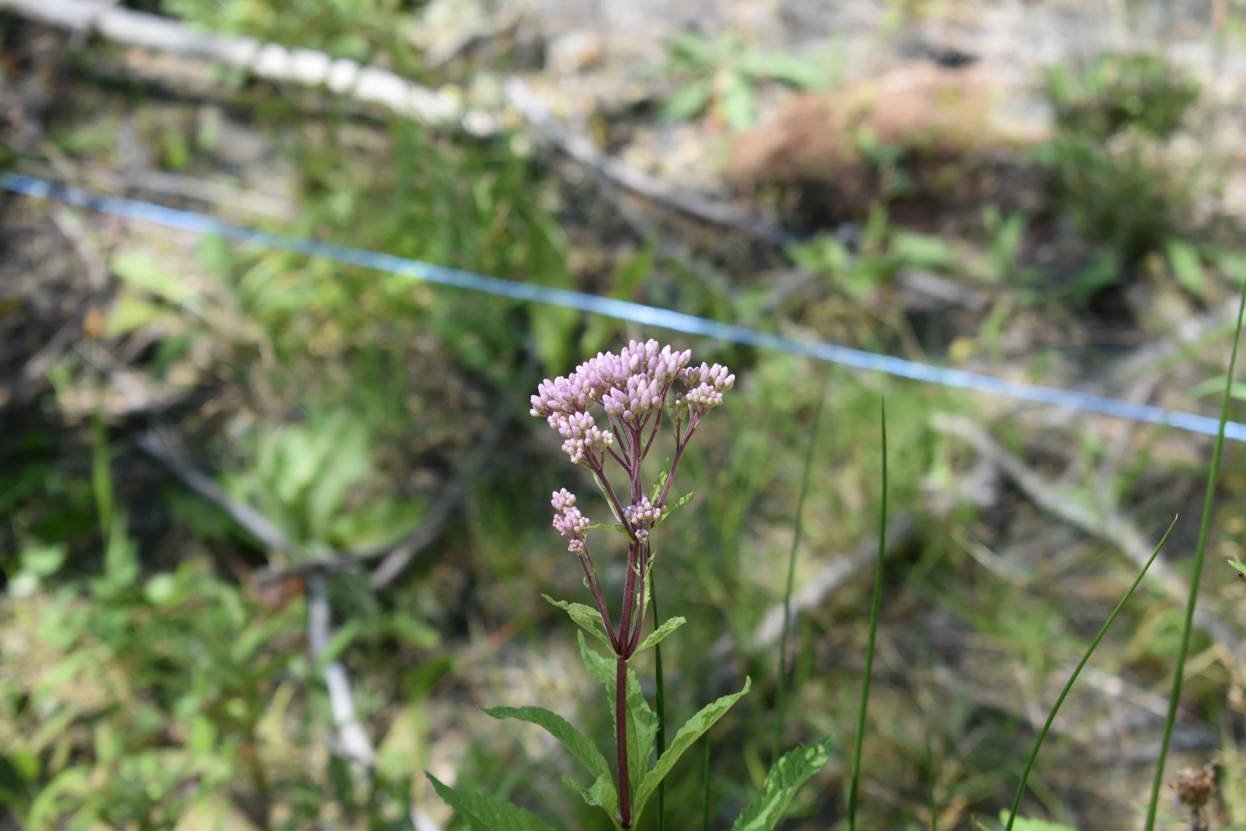
While surveying the site, we found Redroot growing in the restored area!
While we only officially found one to two plants that weren’t there before, it’s a great sign that the rhizomes and/or seeds are spreading throughout the system into the newly available habitat.
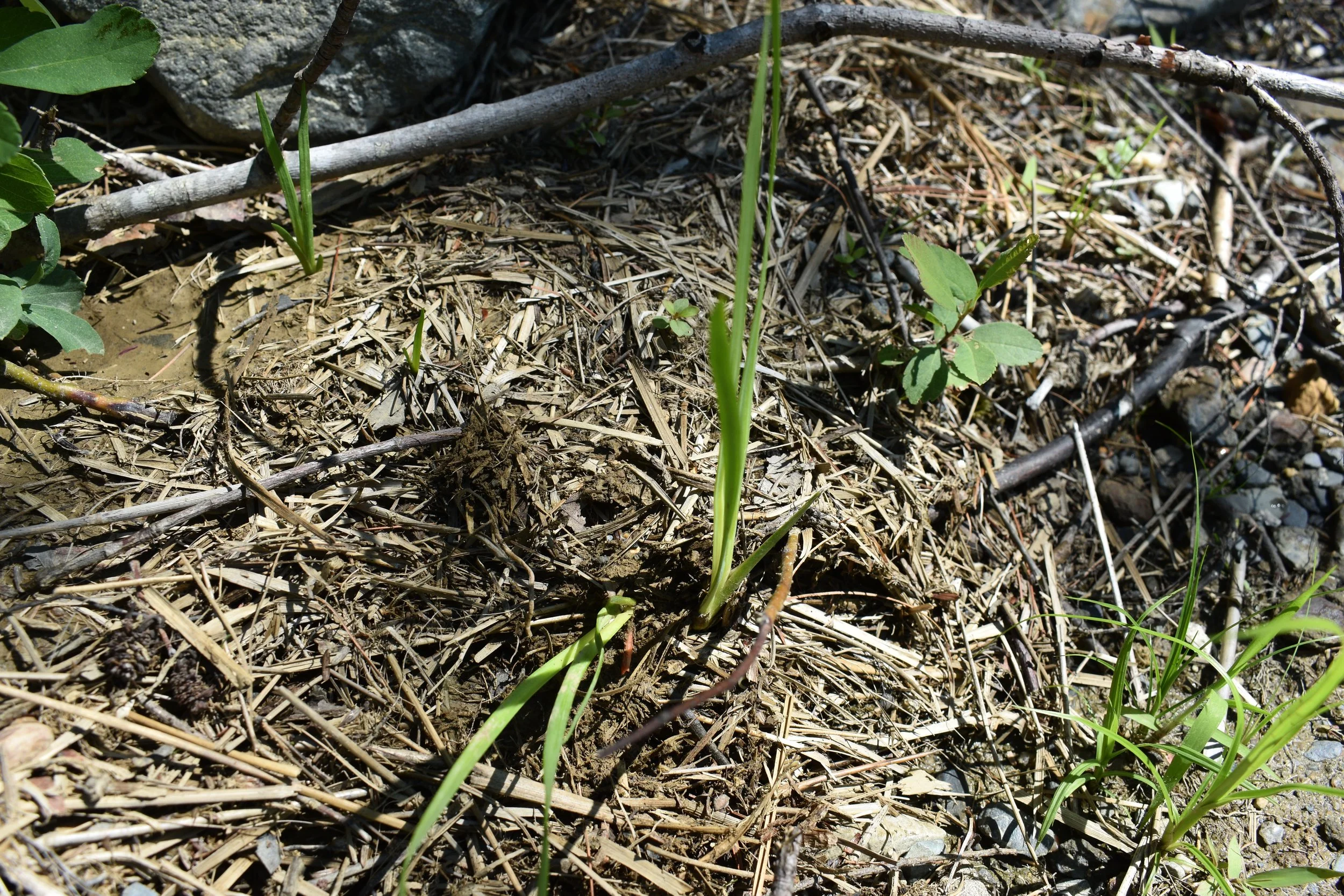
Two Redroot plants growing in wrack along the restored lakeshore at Molega Lake.
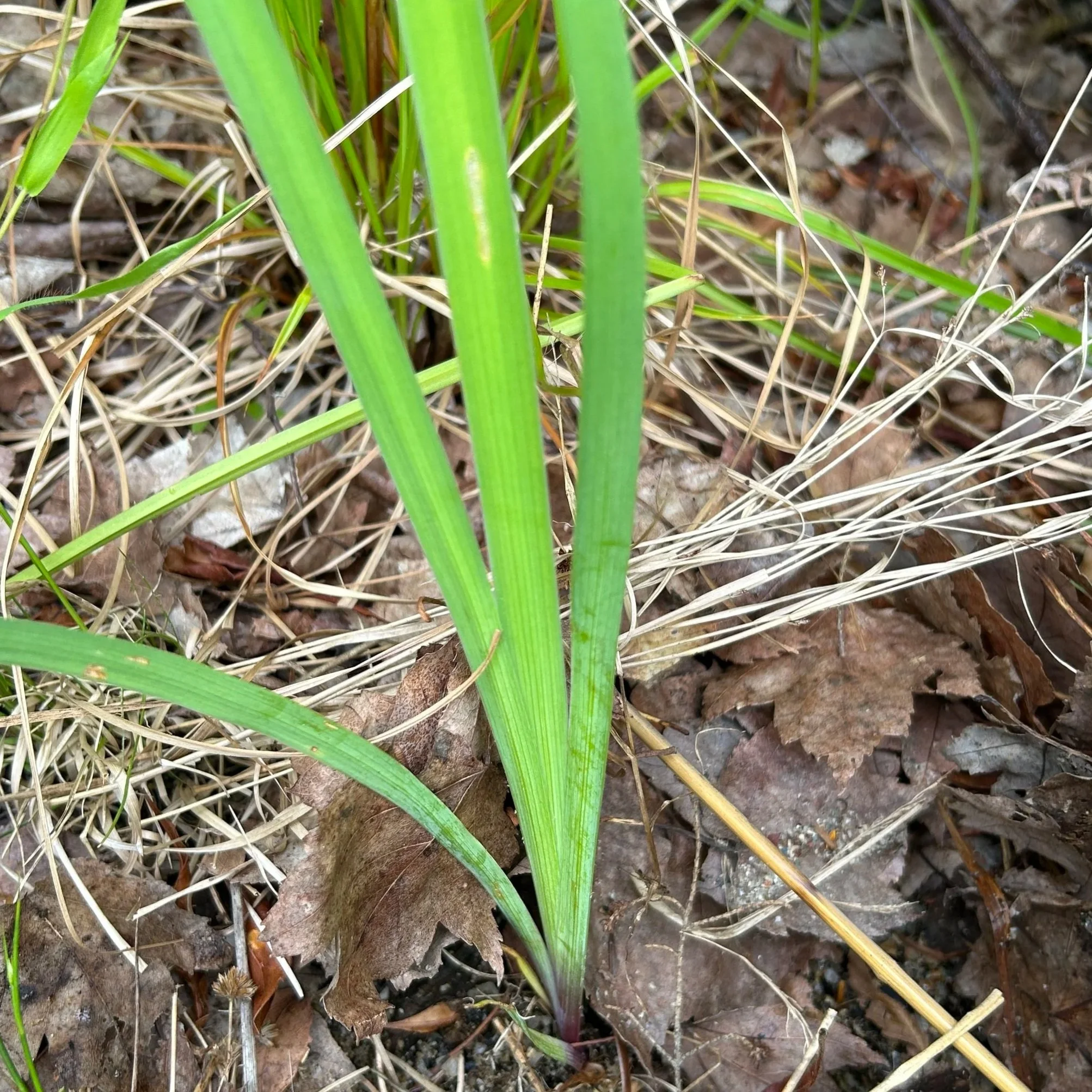
Blue flag iris growing at Molega Lake. Note the similar leaf/blade look to Redroot – photo: Kirsten Ellis.
Redroot is aptly named for its red roots – check out the fallen over plant above; just beneath the soil, its red roots are poking out. These two specimens were found less than a meter above the waterline growing in a pile of wrack.
Redroot can be easily confused with Blue Flag Iris (Iris versicolor), as their leaves and stems look extremely similar when not flowering.
However, the easiest way to tell them apart is that Redroot has, well, red-orange roots! The below photo from 2025 on an undisturbed portion of shoreline on Molega Lake shows just how red these roots can get.
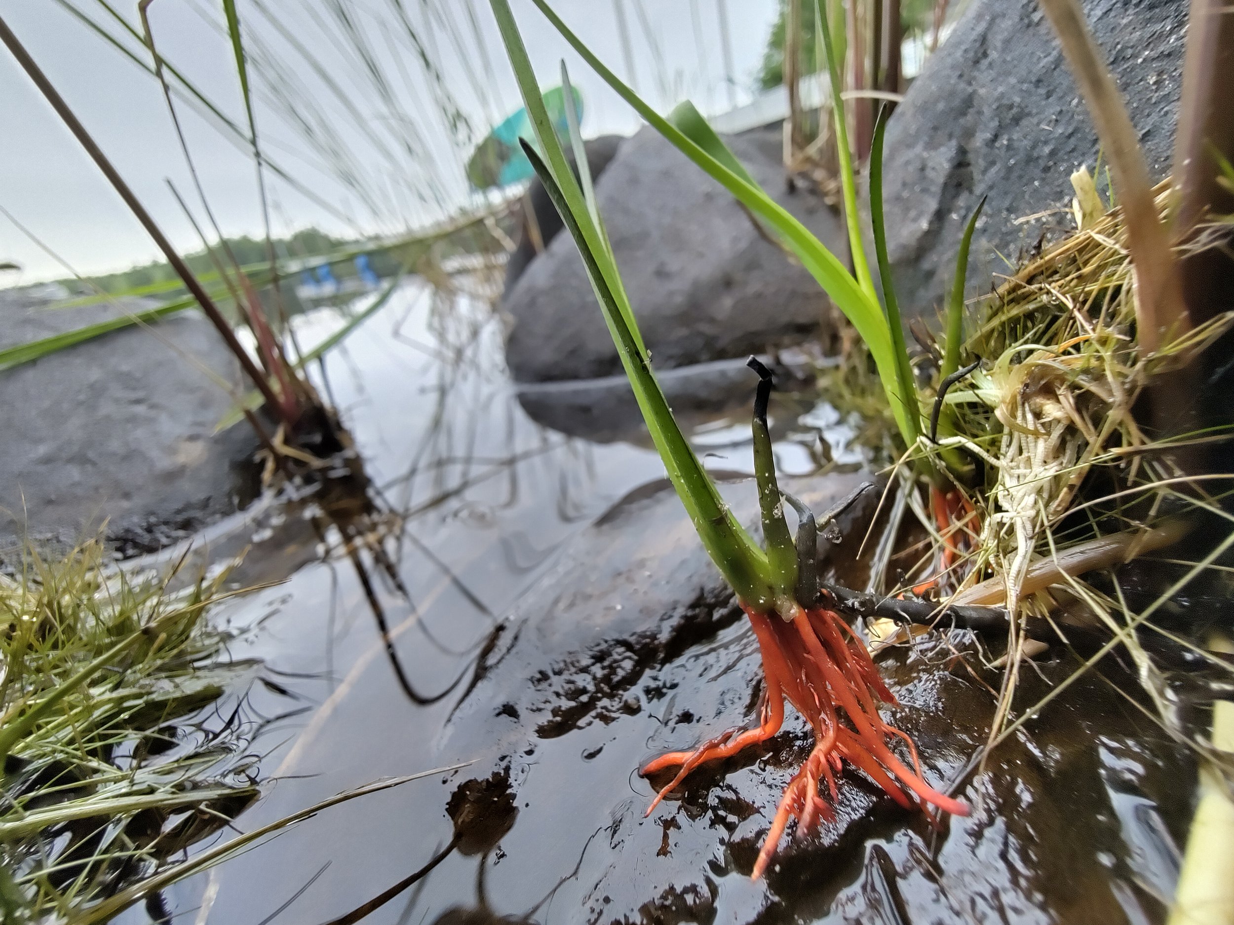
Redroot growing on a regularly flooded stone during the 2025 field visit.
According to COSEWIC (2009), Redroot’s abundance within its habitat is highest on gentle slopes with broad shoreline widths that are flooded annually. They can grow in water up to 10cm deep, but tend to prefer the water’s edge, on shallow soils and cobbles. Like other ACPF species, Redroot relies on these nutrient-poor areas with wave action and ice scour to reduce competition with species that can’t handle that level of soil disturbance. Shoreline alterations (especially infilling and hardening, both of which are so common along Molega Lake) are cited as the main driver for this species’ threatened status (COSEWIC, 2009).
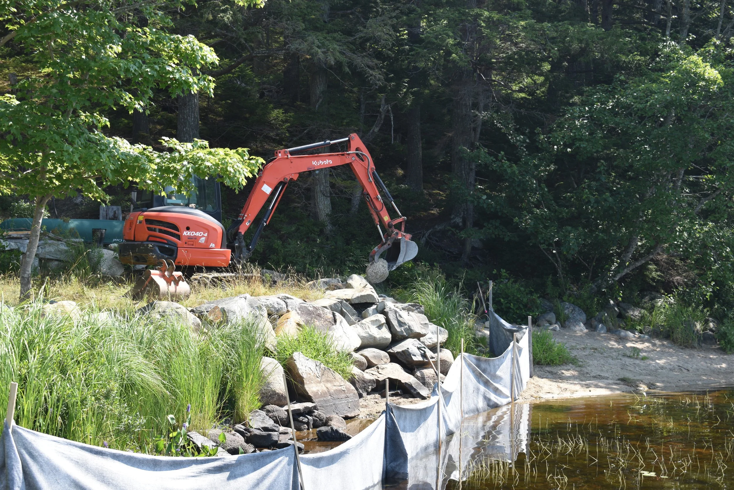
Excavator removing the armour stone from the rock wall during restoration, 2025. Manzer Brothers Excavation & Earthworks removed approximately 76 cubic meters of infill to restore the gentle slope of the natural riparian zone. Note the narrow space between the rock wall and water level – too narrow for Redroot!
Nearly 90% of available Redroot habitat in Nova Scotia is privately owned, meaning long-term survival of this species and its habitat is hugely dependent on the stewardship actions of private property owners along Molega and Ponhook Lakes (and a few neighbouring connected lakes).
The Green Shores for Homes program is readily available to any private property owners in the Maritimes interested in maintaining or restoring healthy riparian habitats for species like Redroot, turtles, birds, shrubs, and people!
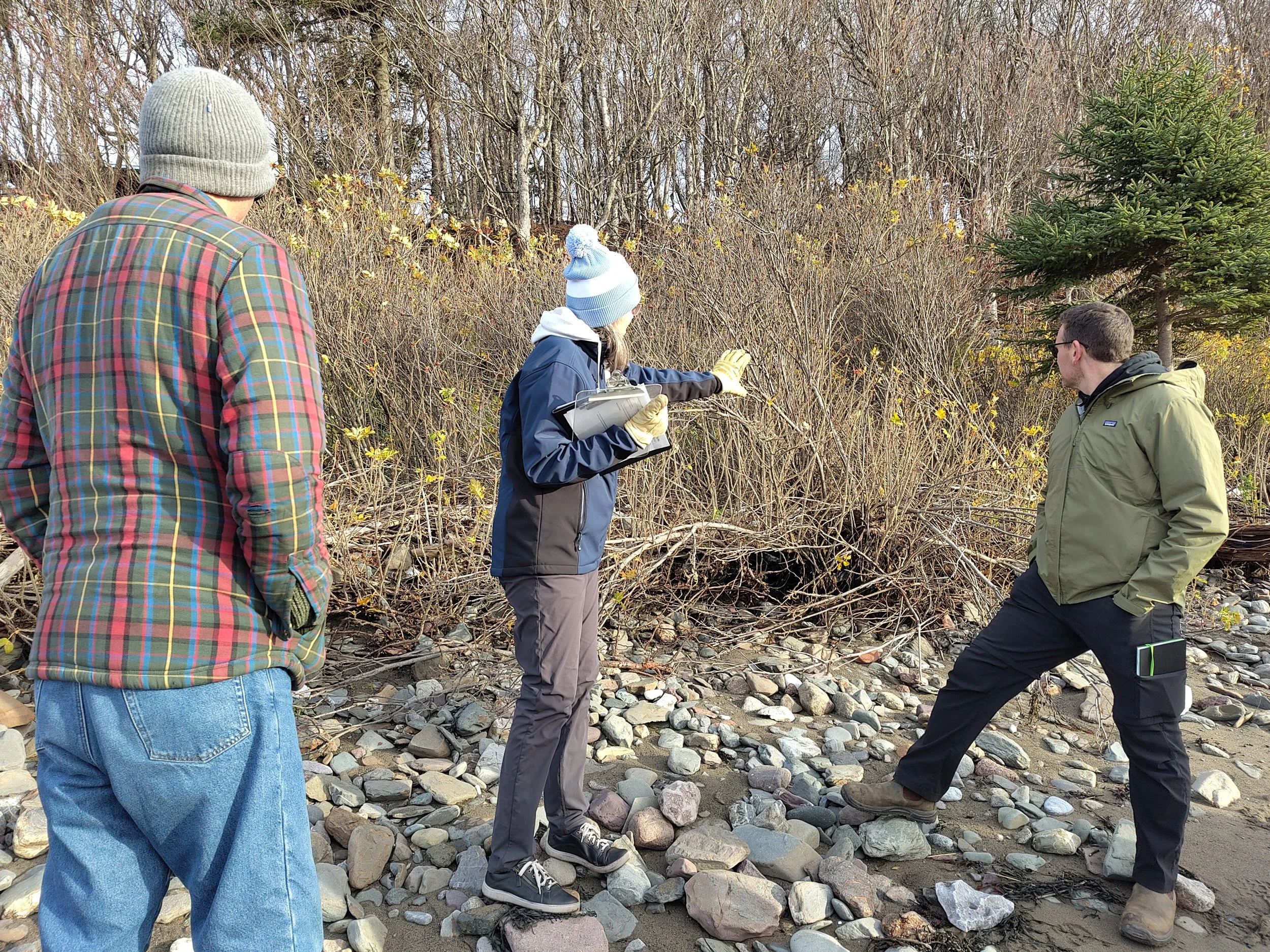
Trainees reading the shoreline and discussing how they could use nature-based approaches to improve shoreline resilience in Green Shores Level 1 training, November 2025.
The program is applicable to both lakeshores and coastlines. Guidance is available for free in the guidebooks on our Green Shores for Homes page. If starting on your own seems daunting, TransCoastal Adaptations offers free training in the Green Shores program on a regular basis, so check out our Green Shores Training page for any upcoming training sessions near you!
If you have previously altered your shoreline and you had species like Redroot onsite, hope is not lost! As our Molega Lake site demonstrates, Redroot can return to a restored floodplain as soon as 1 year after restoration activities are completed. If you are considering altering your shoreline but are concerned that it may impact species at risk or the health of your shoreline in general, the new Green Shores website contains numerous resources that can support you in making the best decision for your property, and staff at TransCoastal Adaptations are eager to provide advice.
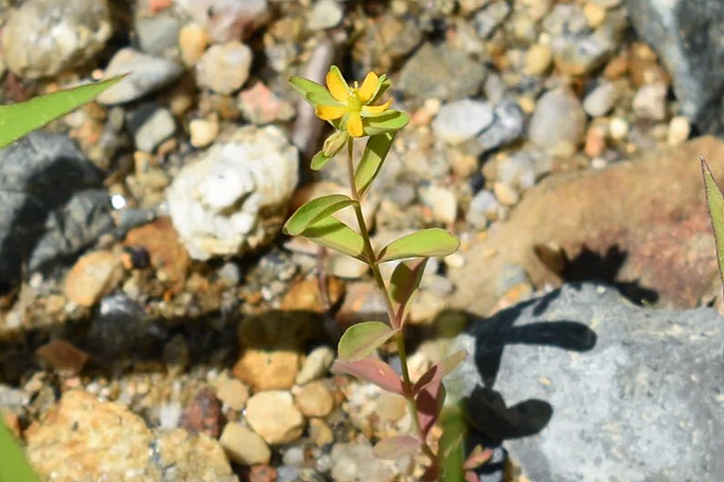
Canada St. John’s Wort (Hypericum canadense)
Working with nature is one of the best ways to ensure a thriving shoreline habitat, water quality, safe access, and climate change resilience.
References
COSEWIC. 2009. COSEWIC assessment and status report on the Redroot Lachnanthes caroliniana in Canada. Committee on the Status of Endangered Wildlife in Canada. Ottawa. vii + 34 pp.
Environment and Climate Change Canada [ECCC]. (2026). Weather station 8202592 – Kejimkujik 1. March 2026 Data Report. Retrieved from: https://climate.weather.gc.ca/climate_data/daily_data_e.html?hlyRange=1994-02-01%7C2026-08-18&dlyRange=1993-04-01%7C2026-08-18&mlyRange=1993-01-01%7C2007-07-01&climate_id=8202592&Prov=NS&urlExtension=_e.html&searchType=stnProv&optLimit=yearRange&StartYear=2026&EndYear=2026&selRowPerPage=25&Line=20&Month=3&Day=18&lstProvince=NS&timeframe=2&Year=2026#legendM
Umlah, K. & Giacomodonato, H. (2026). Molega Lake: Green Shores for Homes Case Study.
Willick, F. (2026). N.S. farmers hope snowy winter will mitigate effects of drought. CBC Nova Scotia. Retrieved from: https://www.cbc.ca/news/canada/nova-scotia/n-s-farmers-hope-snowy-winter-will-mitigate-effects-of-drought-9.7110849
