Welcome to the Converse Marsh Managed Realignment Site
Welcome to the Converse managed dyke realignment and salt marsh restoration site! The Mi’kmaw name for the area is Kweso'malikek (a point of land where there is hard wood).
The Converse managed dyke realignment and salt marsh restoration site is located alongside the Missaguash River, at the top of the Cumberland Basin. The Converse Marsh is located in the Tantramar Marsh System, a network of tidal and freshwater wetlands covering a massive area of the Chignecto Isthmus, which connects New Brunswick and Nova Scotia.
The Tantramar's complex system of bogs, rivers, lakes, and marshes provide an important habitat for waterfowl, fish, invertebrates, and many other species. Prior to the construction for the dyke, aboiteau, and transportation routes over the last 400 years, the Tantramar was one of the largest tidal wetlands complexes in the region.

Biodiversity
Salt marshes are some of the most ecologically productive ecosystems in the world. This area is an essential habitat for numerous species, including migratory birds (jipji'j) like the Semipalmated Sandpiper.
Since colonization, Nova Scotia has lost over 50% of its native salt marshes, including 80% of those in the Bay of Fundy. The agricultural dyke system built to create fertile, agricultural land from tidal wetlands has played a large role in the loss of salt marsh habitat. Managed dyke realignment provides a win-win-win solution: we maintain dyke infrastructure, protect agricultural land, and restore a rich salt marsh.
The Realignment Process
The Nova Scotia Department of Agriculture (NSDA) identified that the Converse Marsh realignment site was an area of concern. The existing dyke was eroding and at increased risk of failure in the fact of climate change and rising seal levels. The existing dyke followed the shape of the river bank, resulting in a long, sinuous dyke system which was costly, labour-intensive, and no longer feasible to maintain.

Failure of the dyke would have flooded the site, the nearby Fort Lawrence Road, and a nearby Parks Canada property. The site is on the Chignecto Isthmus, a key transportation corridor that includes the Trans Canada Highway and the Canadian National Railway. An estimated $100 million of goods and services crosses the corridor each day. A solution was needed protect the farmland, wind farm, and essential transportation routes.
In 2016, CB Wetlands & Environmental Specialists (CBWES) and Saint Mary’s University (SMU) partnered with NSDA to develop plan to realign the dyke. Over the next two years, a number of different dyke alignment designs were drawn up and considered. The designs considered many factors, including cultural significance, archeology, land ownership, cost, hydrology (flow of water), and ecological impact. In December 2018, CBWES broke ground.
Restoration Trajectory
Year 1 (2020)
After the tidal waters returned, the marsh went through a big adjustment period. Most of the freshwater plants died off, leaving open ground for salt-tolerant species to move in. New sediments began building up, and small creeks started forming — all signs the site was moving in the right direction.
Year 2 (2021)
Monitoring continued through the pandemic, and the marsh began to stabilize. Sediment build-up slowed down (as expected), and bare ground decreased from 74% to 60%. Salt-tolerant plants were slowly taking hold, showing early signs of recovery.
Year 3 (2022)
Some erosion appeared around the new dyke, but the team responded quickly through adaptive management — using hay bales, natural mats, and planting to strengthen it. Vegetation increased significantly, with more salt marsh species growing and bare ground dropping to 41%. These changes showed the marsh was beginning to function more like a healthy tidal ecosystem.
Years 4 & 5 (2023–2024)
Monitoring shows the site is back on a healthy restoration path. The marsh continues to collect sediment and grow salt-tolerant plants that help it adapt to rising sea levels. Because this site is near a dynamic river mouth, researchers are also learning how natural shifts in the river’s shape influence restoration success over time.
Ongoing Monitoring
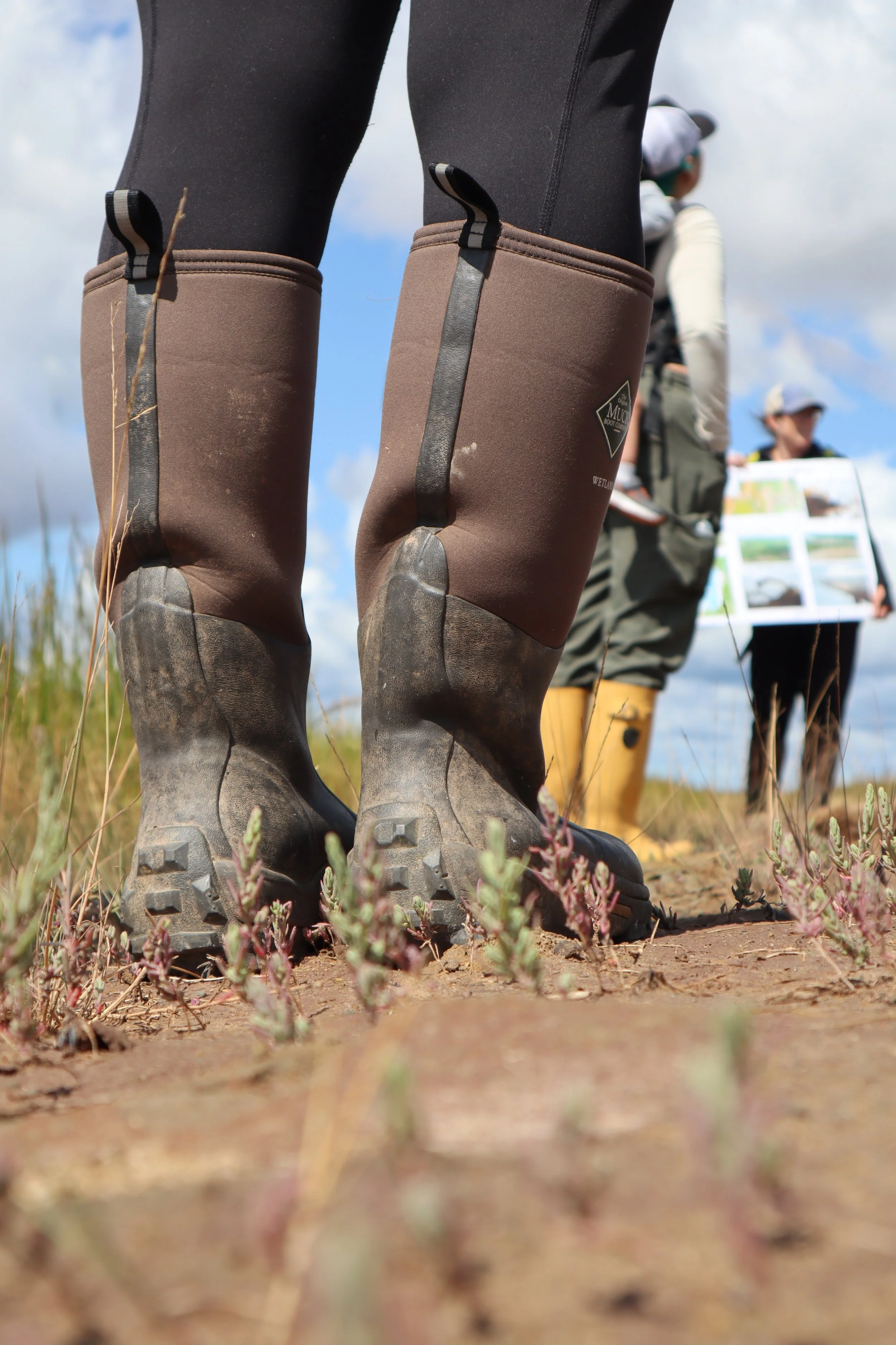
CB Wetlands & Environmental Specialists and TransCoastal Adaptations continue to monitor the site to document changing conditions, evaluate the impacts of restored tidal flow, and indicate whether additional intervention is required. There are many measures of wetland structure and function that indicate the success of wetland restoration projects. The following are being monitored at the Converse Marsh:
-
We use sediment cores and Rod Surface Elevation Tables (RSETs) to measure changes in elevation and sediment accretion rates, as well as characteristics such as sediment type, density, and size.
-
We look to see how the movement of water through the site is changing post-restoration. We determine the extent, frequency, and duration of flooding with tools such as water level loggers and elevation models.
-
We survey the site to look at the type, size and abundance of vegetation on the site to see how the vegetation is changing post-restoration. We also create habitat maps to see an overall picture of vegetation on the site.
-
We use digital elevation models, aerial photography and high-precision GPS to see how both the marsh surface elevation and the overall landscape has changed. description
-
Walking the site in winter and taking pictures allows us to see how ice and snow conditions may affect the restoration. This is an important aspect to remember when working in temperate climates!
Converse Marsh Realignment Site Today
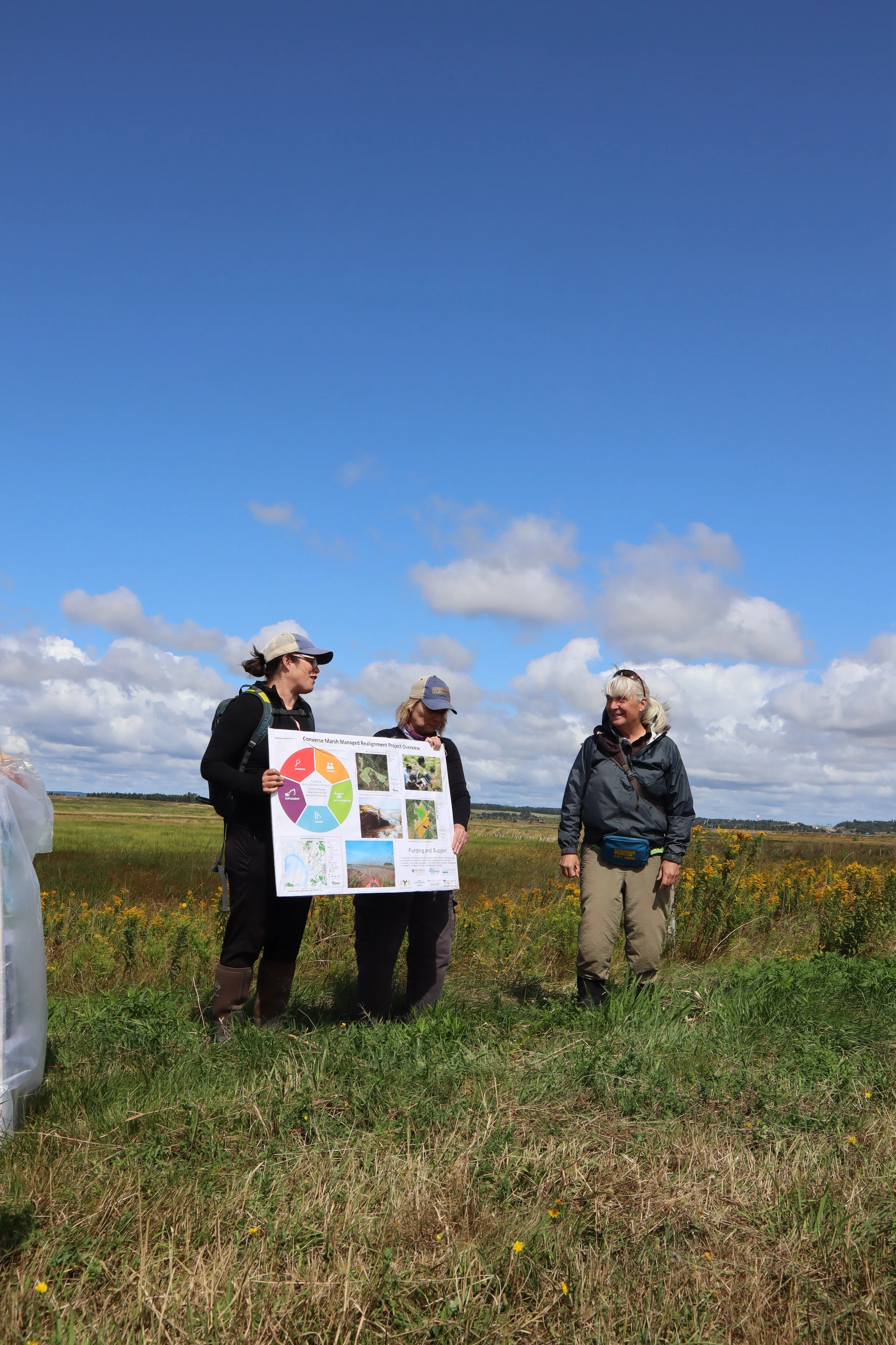
7 years post-restoration, the site serves as a demonstration site to inform and guide future climate change adaptation and tidal wetland restorations involving dykeland systems in the region. In 2025, the TransCoastal Adaptations team welcomed over 50 visitors for on-site education and outreach events.
Foreshore marsh (the area in front of the dyke that is underwater at high tide but exposed at low tide) helps to significantly decrease wave energy before it reaches and erodes the dyke. The Converse Marsh helps to improve climate change resiliency in Nova Scotia by reducing the amount of vulnerable dyke infrastructure and increasing the amount of salt marsh that protects valuable agricultural land and infrastructure.
“We’re leveraging the capacity of a coastal system to self-engineer and provide the protective functions that we need to respond to climate change.”


Funding Partner
Project Partners